
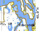
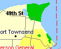
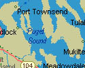
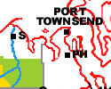
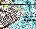
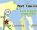
Port Townsend, WA 98368
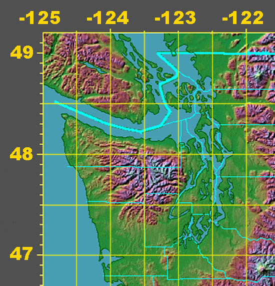
48 Deg. 07 Min. 02 Sec.
North Latitude
(48.104012)
122 Deg. 45 Min. 33 Sec.
West Longitude
(-122.794457)

Solar Activity Monitor
Magnetic Declination
Magnetic North =
19 Degrees EAST
Sunrise / Sunset

N.O.A.A. Aviation,
Marine, Mountain
& River Forecasts
WX-1 162.550 MHz
WX-2 162.400 MHz
WX-3 162.475 MHz
Marine 16 156.80 MHz
Washington Tides
Olympic Region - WA DOT
Hood Canal Bridge
Olympic National Forest
Olympic National Park
Jefferson County Sheriff's Office
81 Elkins Road
Port Hadlock, WA 98339
911 in Emergency
(360) 385-3831
1-800-552-0750
Fax: (360) 379-0521
VHF Frequencies:
Dispatch 153.86 MHz
WA SAR 155.16 MHz
Name: _____________________ JSAR/JCARES ID # ______ Washington DEM ID # ________
Mission # ____________ Rendezvous _______________ Time ___________ Date __________
Description: ___________________________________________________________________
SAR __________ Recovery _______ (T & D) Departure: ____________ Return: ____________
HOME Odometer: ___________ SAR Odometer: ___________ Total Mileage: ____________
24-Hour Pack _____ 48-Hour Pack _____ Type: Urban Rural Coastal Wilderness Mountain
Special Equipment: Technical Swiftwater Flood Medical SCUBA Snowshoes Avalanche Other
 USE THESE LINKS TO GENERATE & PRINT SAR MISSION MAPS AND PHOTOGRAPHS. 
 Lat. / Long. <==> UTM DMS <==> Decimal ARRL Grids Calculators Distances |
Shape Corrected for Lat. 47.50 V 2.2 Copyright © 1995 by RAY STERNER,
THE JOHNS HOPKINS UNIVERSITY APPLIED PHYSICS LABORATORY http://fermi.jhuapl.edu/states/
| Home | JSAR | Contact | Jefferson County | Ten Essentials |
| Trip Plan | Mission Planner | ARES/RACES |
| Washington SAR | Port Townsend Guide |
Copyright © 2000 Dennis Cowals All rights reserved. Updated 6/26/00